www.maorpet.com
The physical seismic experiment
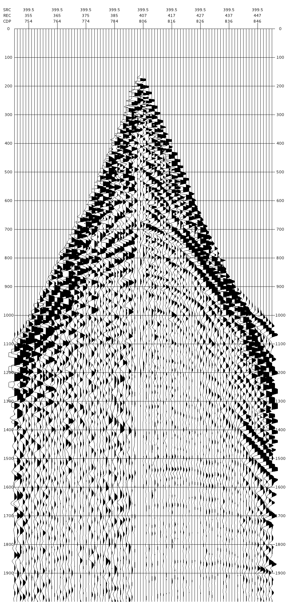
Just think about, what are we doing; we place receivers (geophones) on the surface. We trigger some kind of wave at one single source position and let it to propagate into the ground. We observe the incoming waves at the receiver positions. We record the observed wave amplitudes as a function of time. We measure the horizontal positions of the source locations and the receiver locations.
These are the only parameters, what we can measure.
This is the setup of one real physical seismic experiment. In the geophysical slang we call it one shot record.
(We will display the receivers along one straight line (like the 2D seismic) in the following discussions. It is only because of our display limitation. Moving to 3D and placing the receivers freely anywhere will not change the theory.)

We know the recorded wave amplitudes at every x and every time sample (within the limits of the recording). We don't know anything about the depth. We are not interested in the waves. Our interest is the depth image. To transform our seismic experiment to a depth image, we have to create some kind of imaging condition. The imaging condition should transform the information, what is in the wave amplitudes into Earth image information.